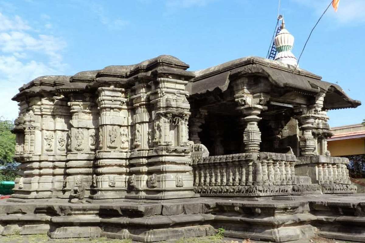
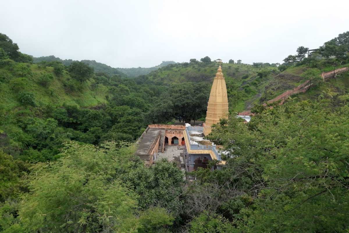
Amazing sculptural innovation at Mankeshwar temple – Mankeshwar is an...
Osmanabad
Brief information about Osmanabad city and district
Osmanabad district is in the southern part of the state. Most of the district is rocky, while the rest is flat. The district is 600 meters above sea level. The district is surrounded on all four sides by a small hill known as “Balaghat”. The Balaghat range includes Bhum, Vashi, Kalamb, Osmanabad and Tuljapur taluks. The district includes part of the important rivers Godavari and Bhima. The district lies in the eastern part of the Marathwada region, between latitude 17.35 and 1840 N. degree and pre
Latitude 75.16 and 76.40 degrees.
Population
Osmanabad district has a total population of 1,657,576 as per 2011 census. People mainly speak Marathi, Hindi, English and Urdu languages.How to reach
By Road:
Osmanabad is 67 km from Solapur, 73 km from Latur, 109 km from Pandharpur, 114 km from Beed, 204 km from Nanded, 242 km from Aurangabad, 260 km from Hyderabad, 322 km from Pune, 411 km from Mumbai.By Train :
Osmanabad has its own railway station, Osmanabad Railway Station, which is connected to major cities of Maharashtra.By Air :
The nearest international airport is Pune International Airport, which is approximately 261 kilometers from Osmanabad.
Tourist places in Osmanabad city and district
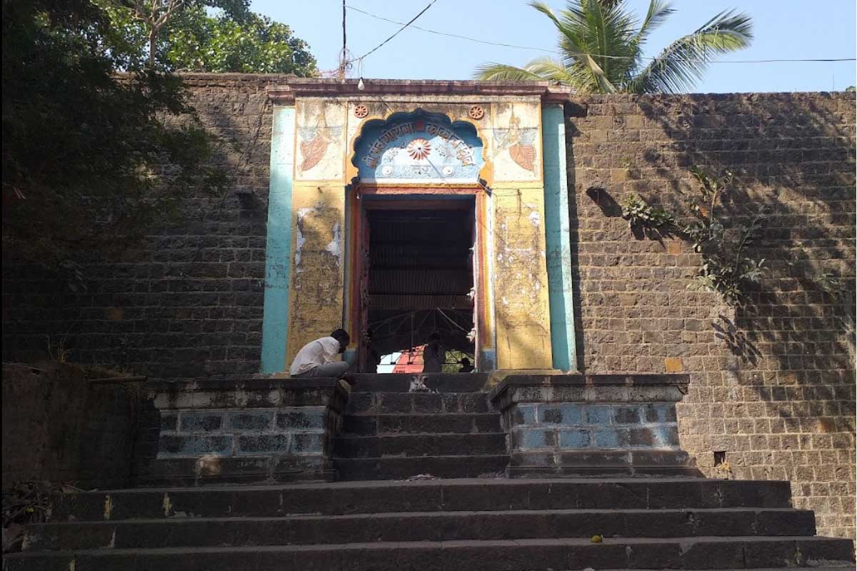
Historicity: This locality is the salvation place of Kulbhushan and...
Gora Kumbhar (1267 AD – 10 April 1317) was a...
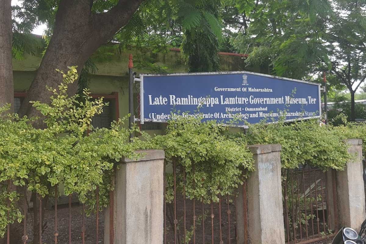
Ramalingappa Lamture Museum is a historical museum located at Ter...
Yedshi Ramlingghat Sanctuary is located in Osmanabad district. Established in...
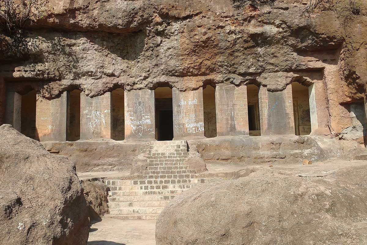
Dharashiv Caves are an ancient group of caves near Dharashiv...
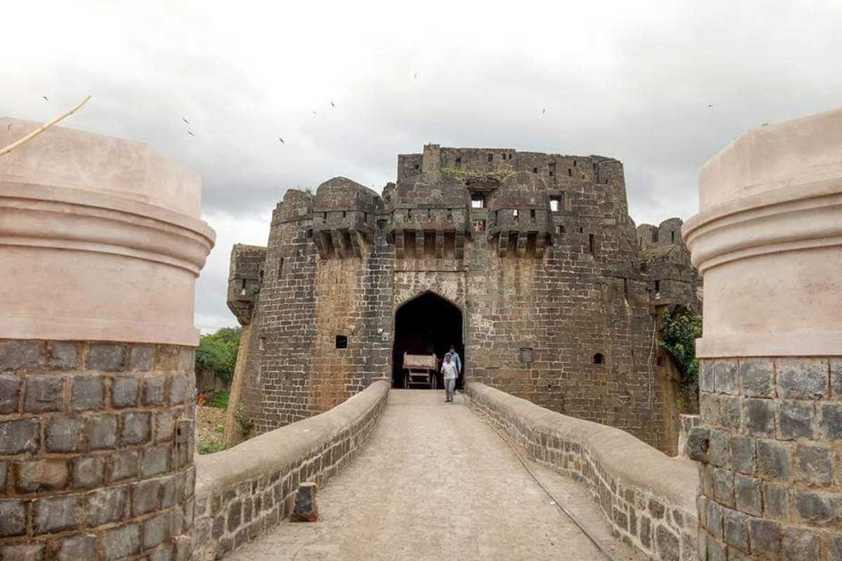
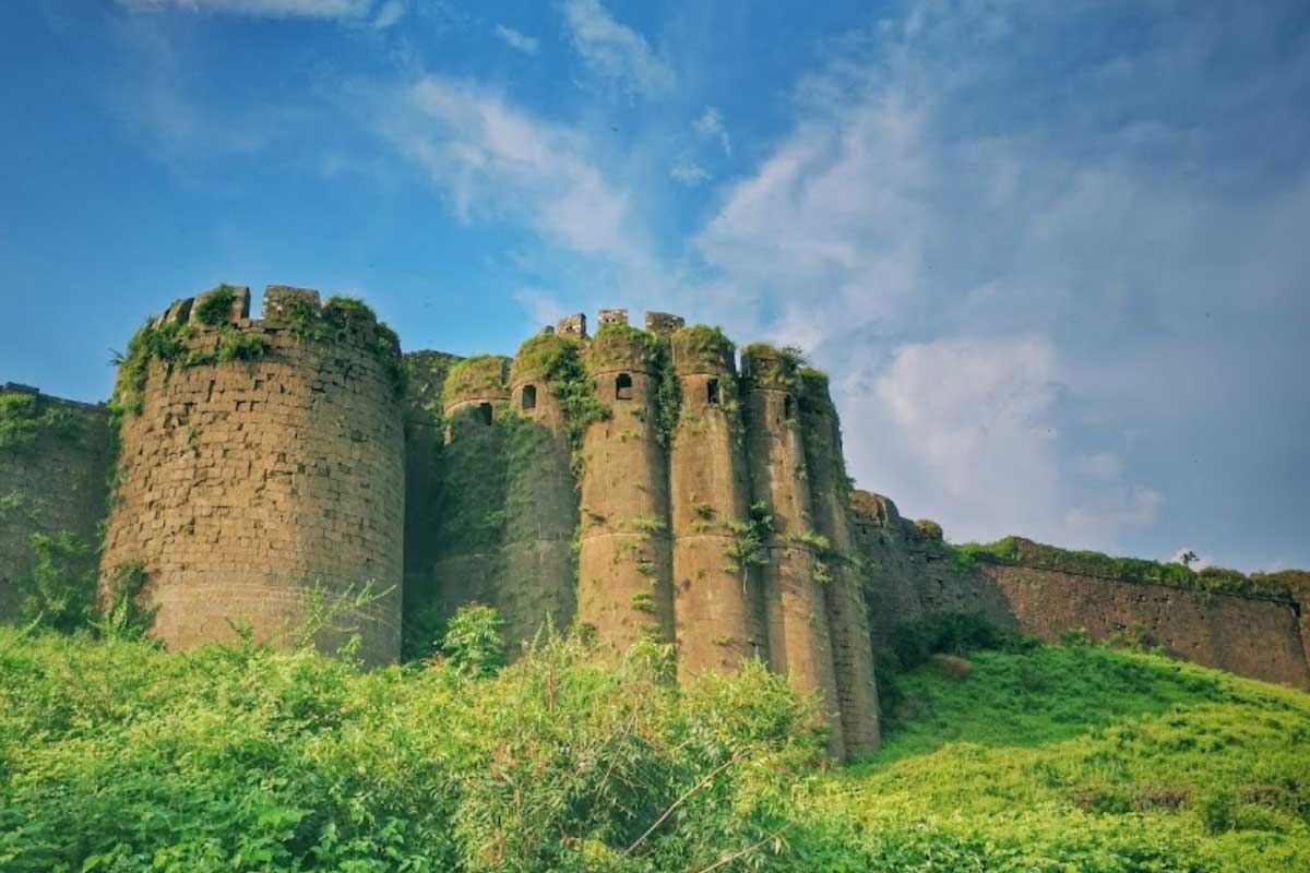
Paranda Fort is located in Paranda town in Osmanabad district....
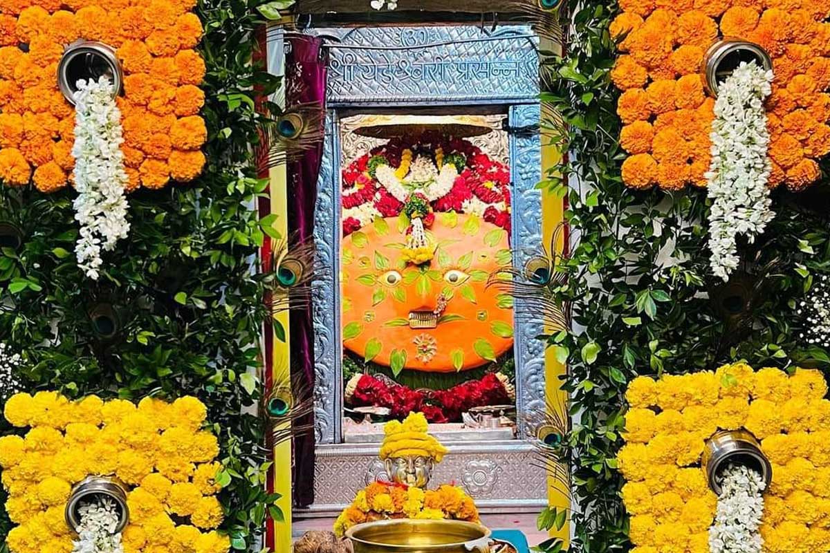
The idol of Yedeshwari Devi is believed to have been...
Naldurg is a fort in Osmanabad district in the Indian...
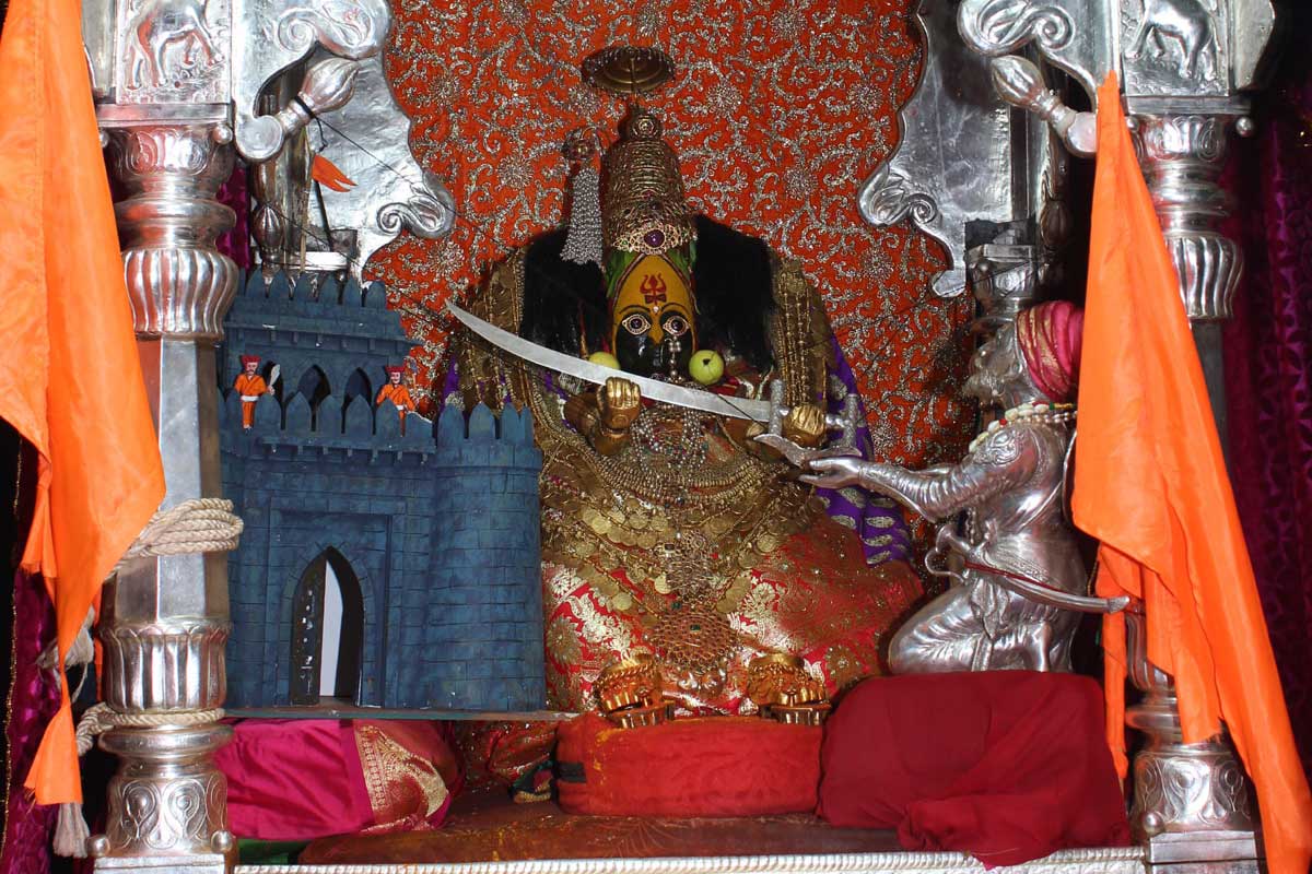
Tuljabhavani Temple is a Hindu temple in Tuljapur, Maharashtra. Tuljabhavani...

